As I mentioned in my Haute Route Day 11 post, my mattress had a large crater in the middle of it and I spent most of the night sleeping curled around the edge of it. By the way, Paul from the UK informed me later that this was easily resolved by moving the boards closer together. Unfortunately, I am not that clever or motivated to get up in the middle of the night and deal with it I guess. Anyway, I heard Denise waking around 6am and knew I had a about a half hour until I needed to wake. We needed to pack up before the 7am breakfast at Hotel de la Reserve so we could make the 7:44am bus to Gasenried. We decided to take the bus up to Gasenried instead of making the 2.5 hour hike up there. It would be a long day even without the extra 2.5 hours. Kathy, Val and Gareth had decided on doing the same thing so it was an easy decision. They are all pretty hardcore mountaineers, so if they are taking the bus I really don’t bad doing the same.
After arriving in Gasenried, we spotted a little market and I picked up a roll, some Gruyere cheese, and a sleeve of cookies for my lunch. We met up with the others and started on our way.
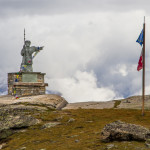
We walked up the road a bit, passed a church, crossed a bridge, made a left and were immediately in the woods and climbing. And climbing. We spent a good part of the morning climbing through the woods. Kathy, Val and Gareth stopped for a bit and we had kept going so we were split up for most of the day. Eventually we came out above treeline and reached a statue overlooking the towns below which was our first waypoint. Again the distances we got were far more than what was listed on the Alpine Exploratory route card we had. What they listed in km, I had in miles.
- Start of the Europaweg
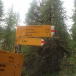
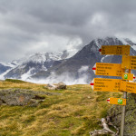
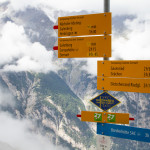
- 5+ hours til Europahutte
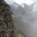
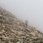
- Foggy Europaweg
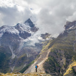
- Europaweg
- Denise on the Europaweg
- Trail Junction on Europaweg between Gasenreid and Europahutte.
- St. Bernard-Patron Saint of Mountain Travellers shows us the way to Europa Hut. His help would come in handy that day
- Denise makes her way up the Middleberg. Last “easy” hiking for the day.
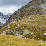
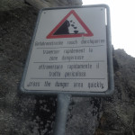
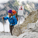
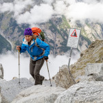
After this, the landscape had changed to very steep and rocky. It would stay this way all day too. The path was very narrow with some serious exposure all day. The worst parts were the areas with the fresh rockfalls and the signs indicating that you are to proceed through quickly to avoid danger. One of the gullies I had crossed has some very loose rocks and I found myself on all fours, spread-eagled across the boulders, trying to make way without causing a rockfall myself. It was rather stressful to say the least. Right after this, three guys through and walked across it like it was nothing making me look like quite the wuss. Denise had been waiting for me to find my way and just followed the guys path and made it without any issue.
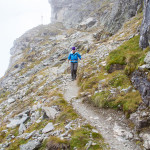
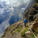
When you were not on a rockfall area you were skirting a very narrow, 1 foot wide or less path that had a sheer drop over the edge. If you mistook a step, you are a goner. Several areas in the paths had big cracks in them that looked like the whole walkway would just drop off at any second. There were also several sections that had ropes attached to the rockwall on the uphill side of the path. Most of these sections were a lot less scary than some of the sections that didn’t have any.
- Ibex on the foggy point-Europaweg
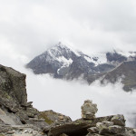
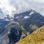
- Weisshorn popping through clouds on the Europaweg
- Cross The Danger Area Quickly!! Denise plans her route accross one of several major rockfalls we crossed that day.
- Tread Easy! Denise begins her way.
- Over 2 more hours to Europahutte!
- Denise scampers down the path on the Europaweg
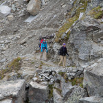
- Gareth, Val and Kathy crossing a large rockfall on the Europweg
- Val & Kathy coming round the corner. Europaweg
- Europaweg handrail
- Denise navigating another rockfall-Europaweg
- Denise on the handrail section
- Ropes provide some security on the narrow path that skirts the cliff
This went on for hours. I was very exhausted from all this stress. Normally there would be spectacular views the entire way too, which may make this difficult terrain more tolerable. But today the mountains were socked in with fog most of the time. As the afternoon went on, the clouds eased up a bit, but it was if they were playing hide-and-seek with us. They would reveal small parts of themselves, but never the entire mountain. The Weisshorn, the Grand Gendarme, and the Brunegghorn were never totally able to be seen in their entirety.
Eventually Kathy, Val and Gareth caught up to us and passed us. We mentioned to them about the scariness of rockfall areas, but they didn’t seem phased by it at all. I guess they are used to that or we just wussies! ![]() Or both.
Or both.
- Denise on the Europaweg
- Exposure on the Europaweg
- Into the Fog-Europaweg
- Ropes provides some security. Note the cliff to the left.
- She’ll be comin’ round the mountain
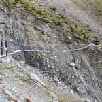
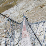
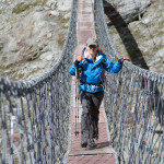
The path did ease up a bit and get a little wider making things a more relaxing. Just as we were settling into some nicer walking, we rounded a bend only to find a cabled suspension bridge linking up the trail across a section of the that was once the mountain. A large rockfall had wiped out a large section of the former mountainside. The bridge was pretty shaky and the narrow planks that were laid on the bottom of the braided cabling would frequently click into place making it feel as if they were giving way. The wood also looked like the thickness of wood paneling and seemed like I could break through at any second. As I approached the middle of the expanse it began to swing more and more. It was actually kind of fun though.
- Suspension Bridge provides an Alternate Route across major rockslide that took out a large chunk of the mountainside.
- Denise begins here crossing
- Denise happy to be halfway. Book on tape is still playing I’m sure
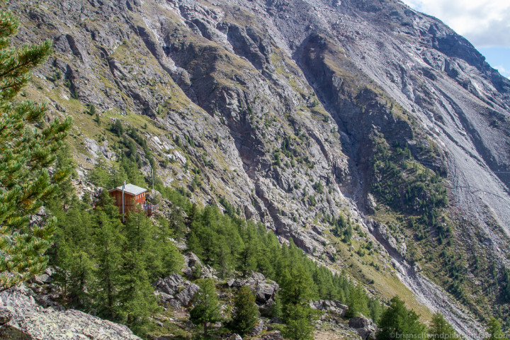
EuropaHutte!! An oasis among the rocky mountainside. Note the other suspension bridge further on which was closed.
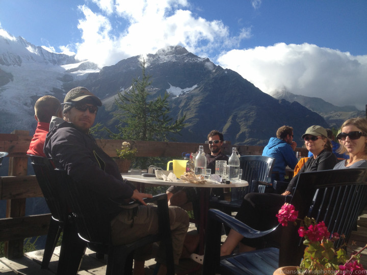
We finally arrived at the Europahütte after rounding a couple more bends in the mountain side. It was a relief to finally get there. We settled in and got the lay of the land for the place. We sat out on the deck for a while with Rich, Martijn, Val, Kathy and Gareth and enjoyed some beers, snacks, laughs and the beautiful views of the mountains across the valley. We eventually moved indoors after it got a bit more chilly out.
Dinner at the Europahutte or Europa Hut(in English) was some scallopini style meat and potatoes with gravy along with a consomme soupe and salad. We had some pink ice cream and whipped cream for desert and sat around talking for a bit. Tomorrow we had to make a decision of how we would proceed to Zermatt. There was another suspension bridge right after the Europahutte which was closed due to another recent rockfall, so we needed to decide whether we would take a taxi from the town of Randa below the hut back up to the other side of the suspension bridge or just walk the valley into Zermatt. Denise and I reserved the taxi, but would decide on the way down to Randa based on if the mountains were clouded in again. It sounded like the others would be hiking back up to the other side of the bridge and taking it in on the high side.
- The Western Lyskamm
- The Western Lyskamm-Zermatt, Switzerland
- Sunset Lyskamm and Santa Rosa from EuropaHutte
As the sun set, I broke out the tripod and tried to get some sunset shots beyond the mountains. The clouds had cleared up quite a bit now, but the sunset really didn’t materialize too well. We headed up to the bunks around 9-9:30pm for a good night sleep.
Haute Route Hiking Stats-Day 12
St. Niklaus to Europa hut(Europahütte)| Hiking Time: | 6:58 |
| Hiking Distance(mi):) | 9.27 |
| Elevation Gain(ft): | 3,930 |
| Days Hiking: | 12 |
| HR Hiking Time: | 72:32 |
| HR Distance Hiked(mi): | 120.8 |
| Elevation Gained(ft): | 40,176 |
2 comments
Good report. But when did you go for this trip? Was it last year?
Author
Thanks Paul. This was September of 2013. I am just catching up on my posts. 🙂